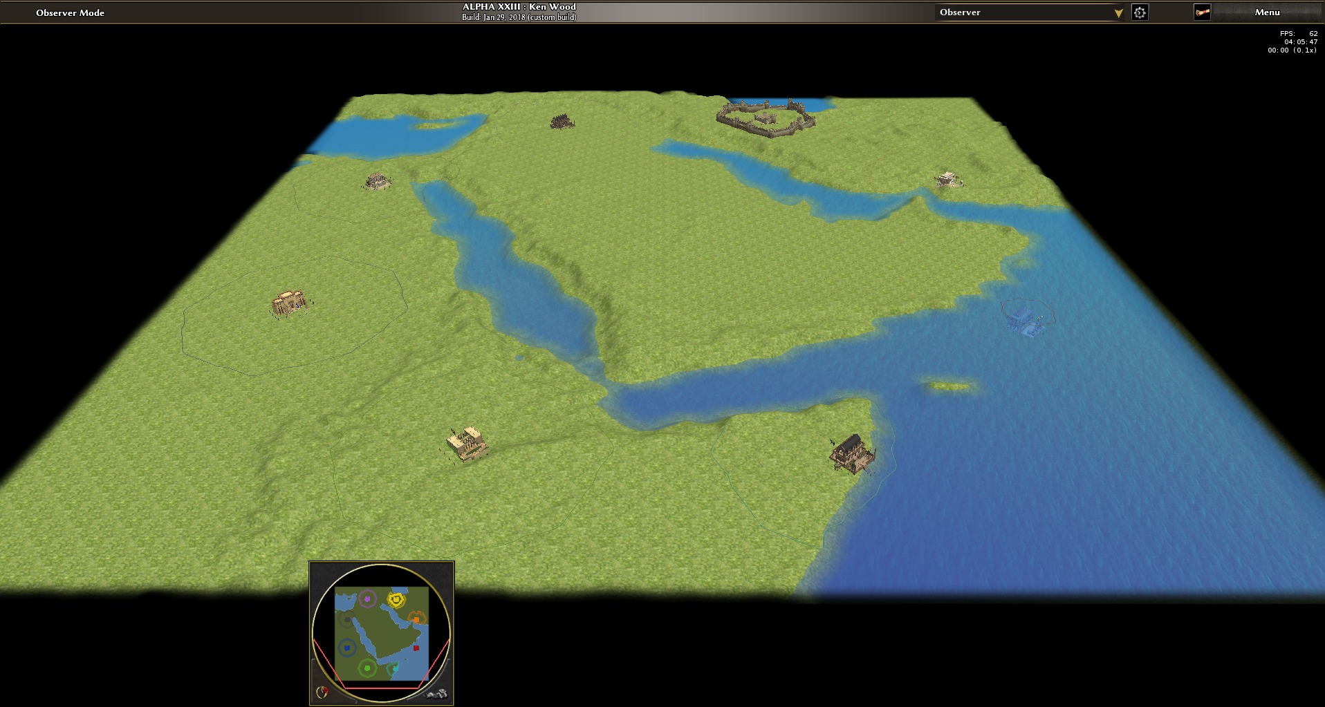
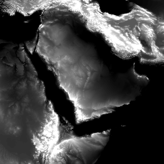
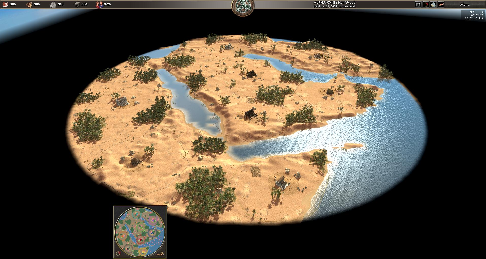
rmgen heightmap image import
While it is a rightfully demanded feature to open terrain maps created in atlas from a random map script, it would also be handy to open an image file of a heightmap directly from rmgen without creating a PMP file thereof.
The rmgen script can then be tought to interpolate, set the waterheight and so forth. This way one can keep the original data source and if needed replace it while the code and map generation still works. (It means if such a replacement is needed or benefitial, artistic value of the terrain is not lost).
See #4816 for loading Atlas terrain PMP files from random map scripts.


For instance if someone decides that we actually wanted a slightly different chunk of the map (square to circular map conversion), the entire artwork in atlas would be lost, but if there was no artwork in atlas but rmgen doing the same, it can't be lost.